


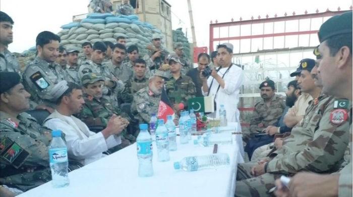
CHAMAN, May 7: : Afghanistan and Pakistan military authorities have decided to determine geographical boundaries of their areas during the third flag meeting at Bab-e-Dosti border on Sunday.
The Pakistani delegation was led by FC Commander North Sector Brigadier Nadeem Sohail and Afghanistan’s delegation was headed by Colonel Muhammad Sharif.
The meeting was also attended by Pakistan and Afghanistan’s geological survey teams.
During the meeting, the geological experts decided that survey of Killi Luqman and Killi Jahangir will be conducted. They mutually agreed upon using Google and geological maps to conduct the survey.
After the survey is completed, a report will be sent to Islamabad and Kabul. The decision to open the border will also be made once the survey is completed, decided the meeting participants.
The meeting, which lasted for more than two hours, also discussed other issues pertaining to the Pakistan and Afghanistan border.-Agencies
